
CHALYBEATE SPRING DIG
Archaeological Excavations at Brandywine Springs
Wilmington, Delaware
The Chalybeate Spring Dig
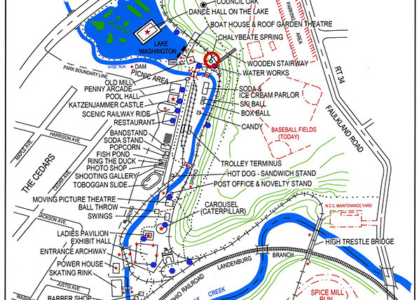
Archaeology Site Map:
Click on photo below to view a larger version.

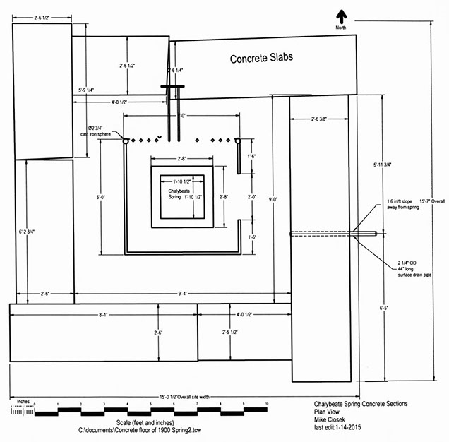
This CAD drawing shows the FOBS archaeology site map.


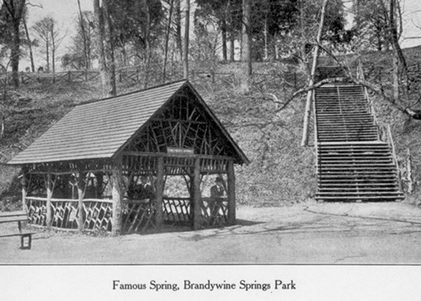
This shows the site in 1909 with a gazebo built over the concrete base. We found the base after digging down through about 24-inches of washed-in silt.
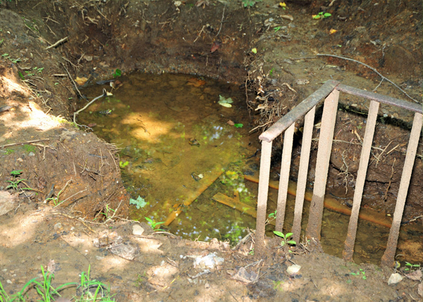
This is how the site looked before the dig started in 2011. We had no idea what to expect.
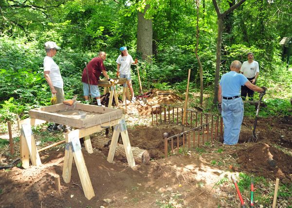
The group starting to dig the site.
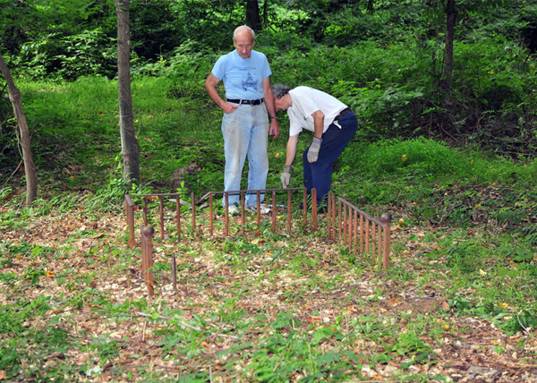
We found the concrete base for the old amusement park gazebo.
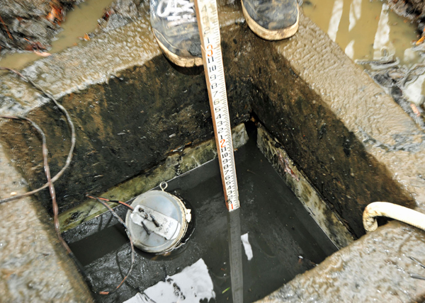
The Chalybeate Spring was still running with an iron content about 13 times greater than the recommended amount for drinking water by the EPA. The corners of the marble walls, below the concrete base, were open to allow the chalybeate water to flow in. The floating item in the water is the pump we used to drain the spring.
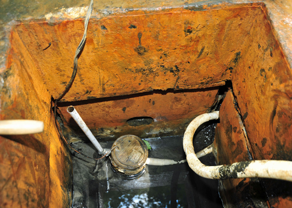
Near the center of the photo on the far wall is an opening that is connected to a drain line which empties into Hyde Run. Unfortunately it is plugged and the chalybeate water floods the site after each dig. We have asked the County to replace the drain line to keep the site dry.
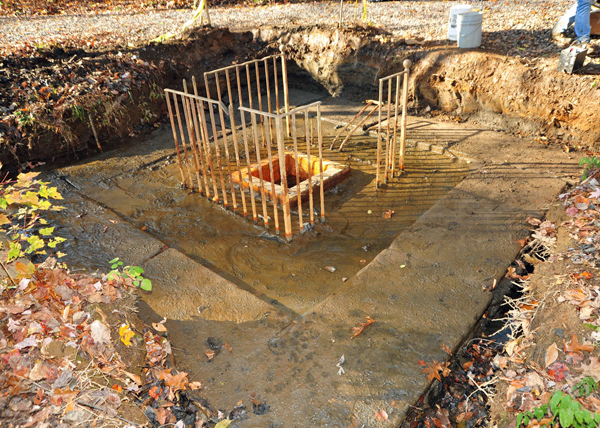
This photo shows the dried site at the end of a dig day. You can see the concrete section which makes up the base.
This photo shows the map.
<
>
Click any photo to view a larger version.
Friends of Brandywine Springs
P.O. Box 5323
Wilmington, DE 19808-0323
